Nature Tech Solutions
As naturepreneurs, the Soil Sisters facilitate investment, funding and distribution of climate- and biodiversity-friendly materials from regenerative farming through systemic collaborations with companies and system partners such as standards-setting bodies.
With our Farm-to-Venture app, farmers can record and document their activities and share them with other users.
This makes sustainable farming practices transparent, visible and traceable. Farmers can trade certificates with partner organisations, which reward them for their environmentally friendly practices. Once the transition is complete, certification is carried out in accordance with a recognised farming standard (IFOAM and ISEAL).
Nature tech for natural fibre cultivation
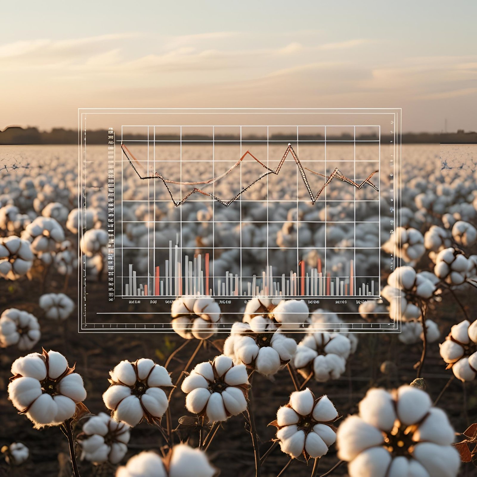
Our understanding of the environmental impact of textile production is becoming increasingly accurate thanks to improved processes and measurement methods: around 70% of the environmental impact arises at the stage of raw material extraction and production. Cotton cultivation accounts for around 15% of the world’s arable land. Added to this are areas used for livestock farming to produce wool, hides and leather, as well as forest areas where raw materials for cellulose fibres are grown. The nature-positive management of these vast quantities holds enormous potential, which we are demonstrating with our technology.
Our software for evaluating ecosystem services is trained on plantations dedicated to the cultivation of natural fibres and follows the algorithm set out in the standards for regenerative farming methods. The open-source application is used by farmers, project developers and buyers alike.
Software development

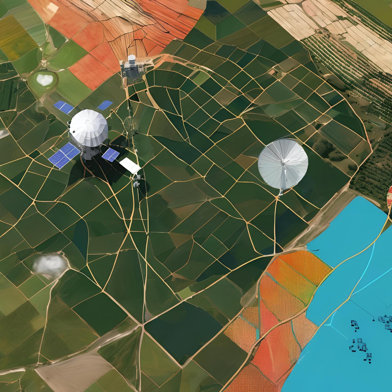
Identification of areas
Identification of plantations suitable for conversion. To this end, we collect the following data:
- Yield data
- Calculation of current CO2 emissions
- Calculation of the current biodiversity value
Soil samples and GPS data
Our partners carry out an on-site soil sampling and record the GPS coordinates. We then collect the following data:
- Yield data
- Calculation of current CO2 emissions
- Calculation of the current biodiversity value
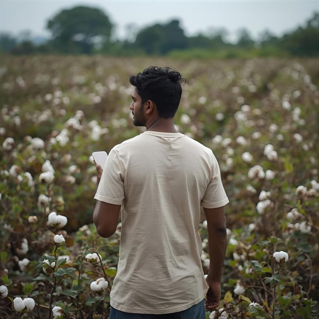
Farmers enter data into the system
- Project kick-off questionnaire
- Photo documentation
Please note: This project overview is provided for information purposes only. It is a non-binding presentation of current plans, concepts and budget estimates. Subject to change. Any services, prices and timelines included are provided without guarantee. Please obtain written permission from the copyright holder before reproducing or using any parts of this document.